Art projects
Painting, illustration, mixed media, mural-making. For individuals and groups, all abilities welcome.
Our missions & services
Design, courses, inspections and drone services — delivered by one Wigan team. Every project funds our community programmes for SEND families, carers, and people living with chronic illness or mental health conditions.
Why we do this
We provide a service to members of the community who live with mental health conditions, chronic illness and disabilities — giving them a place to share their views, shape what we do, and be heard. We work hand-in-hand with their carers, because looking after someone you love is heavy work that often goes unseen.
As a non-profit Community Interest Company, every penny of profit from our design, course and inspection work returns to this mission. We also partner with selected charities including Blythswood, so the impact reaches further than our own four walls.
Open forums, lived-experience panels, recorded conversations.
Quiet support, practical resources, a tea and a chair.
Soft companionship for visits and group sessions.
Trauma-aware practice, clear boundaries, named leads.
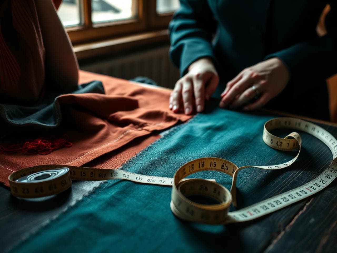
Bespoke design
Made-to-measure pieces, uniforms, custom prints and small-run wardrobes. From sketch to stitch.
Brand kits, identity systems, illustration. Built for community groups, schools and small businesses.
Posters, flyers, leaflets — designed to be opened, not binned. Sustainable print options.
Outdoor banners, exhibition displays, pop-ups. Weatherproof, vibrant, made to last.
Courses & workshops
From a quiet afternoon of sketching to a five-day company programme. Built around your group, never off-the-shelf.
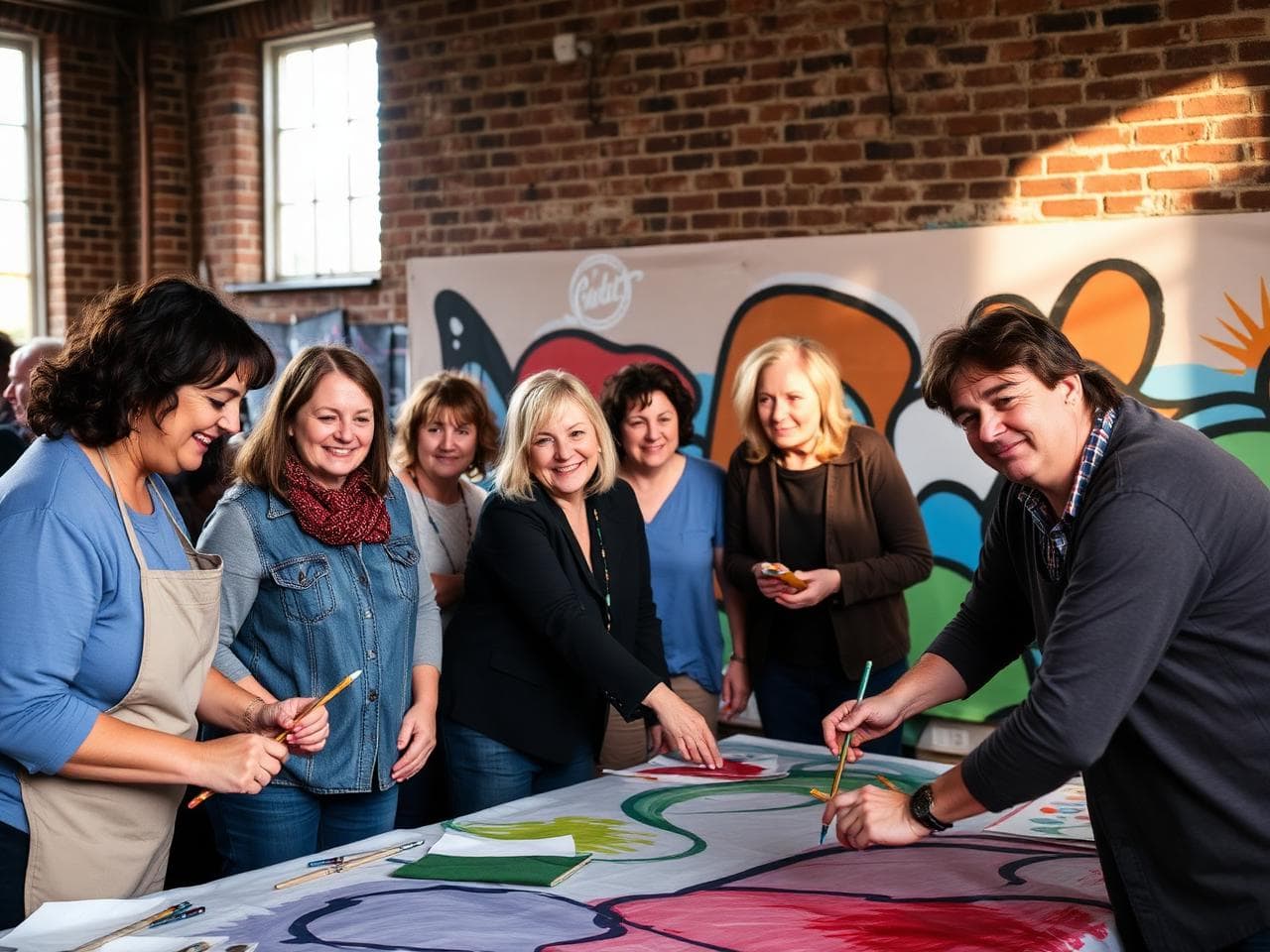
Painting, illustration, mixed media, mural-making. For individuals and groups, all abilities welcome.
Filming, editing, podcasting, photography. Tell the story only you can tell.
Workshops grounded in Wigan's mining, mill and folk heritage. Hands-on, archive-led, deeply local.
Bespoke half- and full-day sessions. Real making, real conversation — not awkward trust falls.
Practical workshops on stress, burnout and resilience, delivered with care and lived experience.
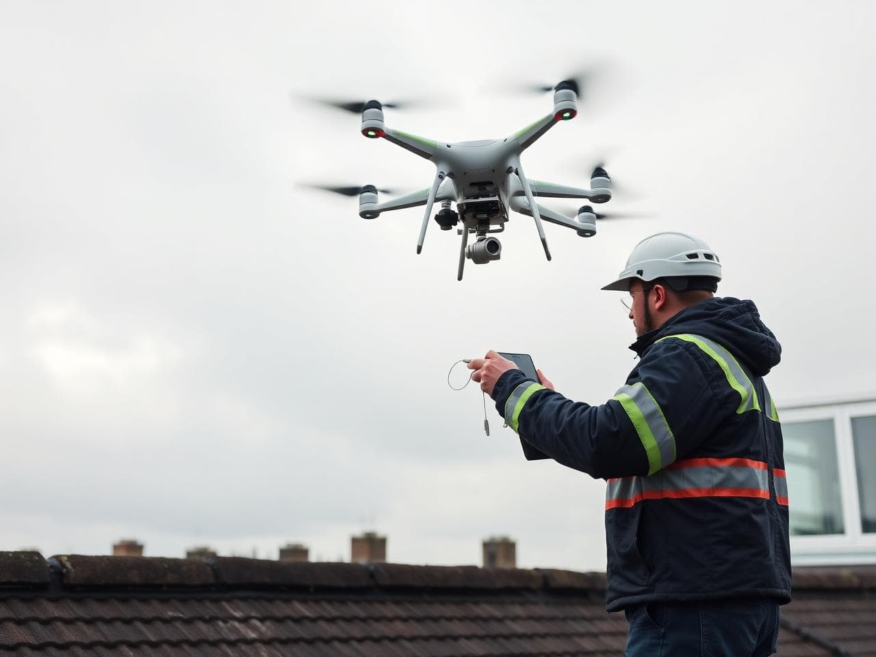
Inspection packages
Building inspections, land and agricultural surveys, drone work and risk assessments. Honest reports, fast turnaround.
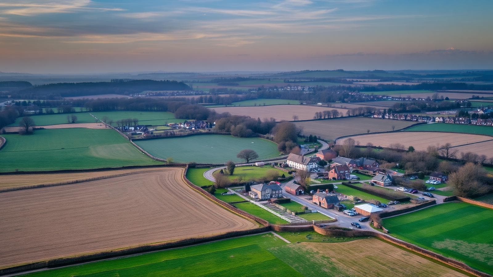
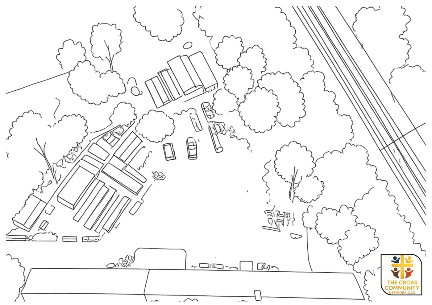
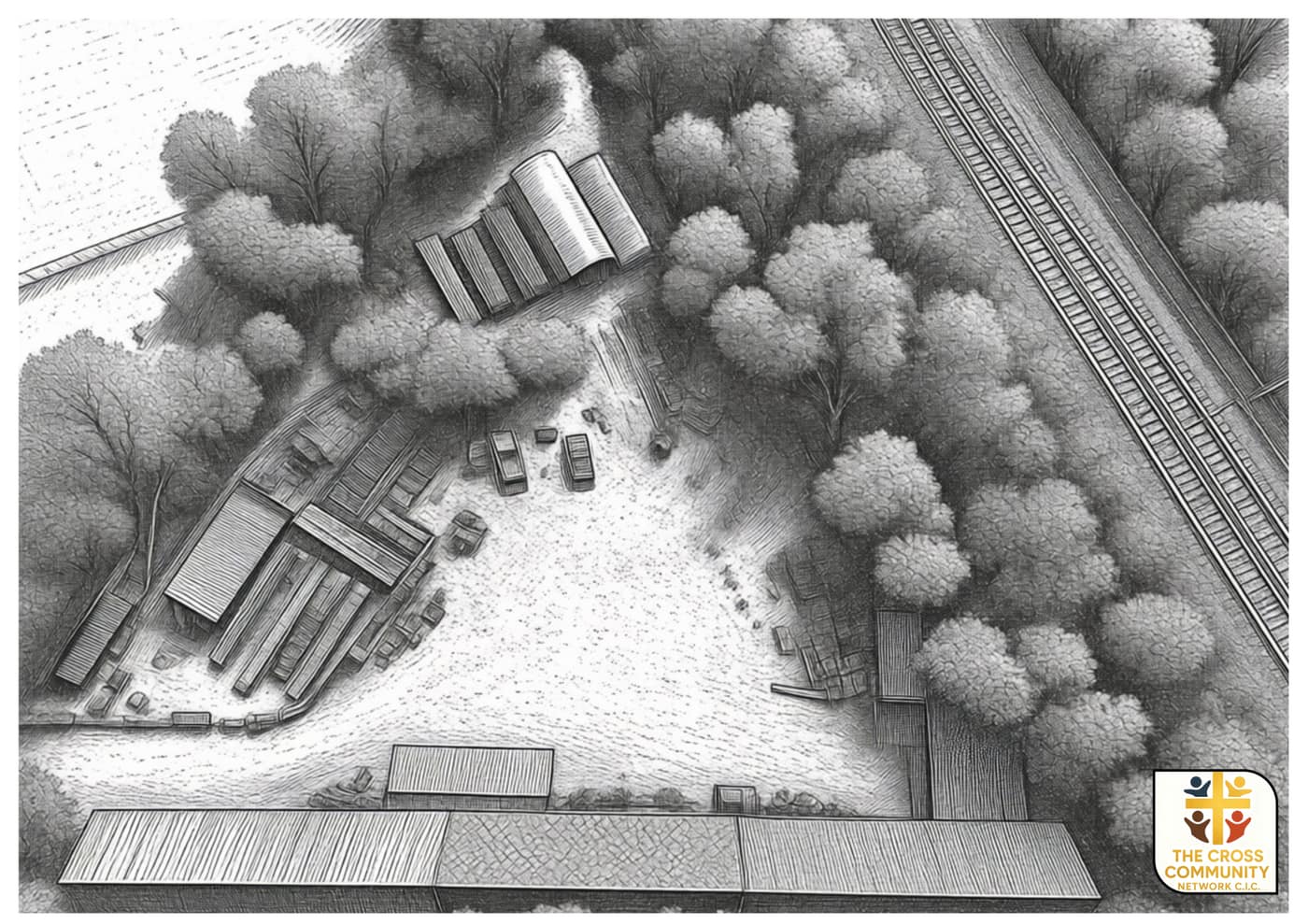
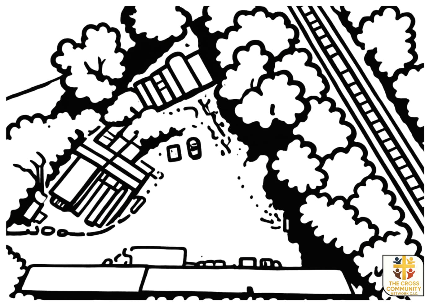
Site planning
We turn drone captures into clean black-and-white line studies — perfect for sketching out land use, access routes and building placement before a single spade hits the ground.
Pre-purchase, dilapidations, condition surveys. Clear photographs, plain-English reports.
Boundary checks, topography, change-over-time monitoring for landowners and developers.
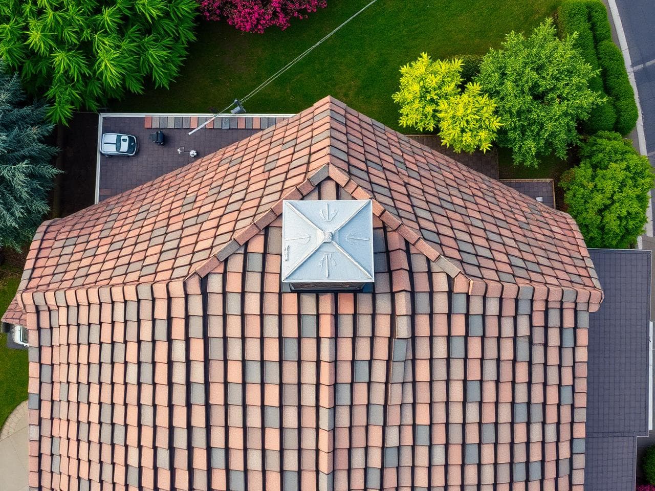
Roof inspections, mapping, agriculture overflights. Fully insured, CAA-compliant pilots.
Site safety, event risk, working-at-height. Documented, defensible, ready for sign-off.
Design, a course or an inspection — we'll come back with timings and a fair quote within a working day.